Phase 1
In preparationUkwa environmental baseline
Map oil infrastructure, water sources and reported contamination in Ukwa West and Ukwa East.
Member states
Abia, Akwa Ibom, Bayelsa, Cross River, Delta, Edo, Imo, Ondo and Rivers are the nine states covered by the Niger Delta Development Commission mandate. Each faces a distinct mix of pollution, erosion, deforestation and water pressure — and each needs a tailored restoration plan.
Regional operations map
Switch layers to explore state profiles, programme locations, pipeline indicators and collaborators.
Interactive Niger Delta campaign map. Choose a map layer, then activate its markers to reveal details. State markers support Arrow keys, Home and End.

Locations indicate programme focus or regional reach, not precise worksites or office addresses. Map supplied as a geographic reference.
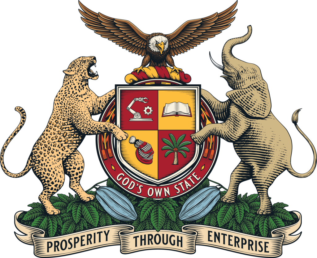
God's Own State
Capital Umuahia · 17 LGAs · Approx. 6,320 km²
Phase 1
In preparationMap oil infrastructure, water sources and reported contamination in Ukwa West and Ukwa East.
Phase 1
PlannedIdentify industrial discharge and flood hotspots around major manufacturing clusters.
God's Own State
Igbo, including Ngwa, Ohafia, Aro, Bende and Abriba communities
View state profile
Land of Promise
Ibibio · Annang · Oron · Eket · Obolo
View state profile
The Glory of All Lands
Ijaw (Izon), with Nembe, Ogbia, Epie-Atissa communities
View state profile
The People's Paradise
Efik · Ejagham · Bekwarra · Yakurr · Boki · Ogoja peoples
View state profile
The Big Heart
Urhobo · Anioma (Igbo) · Isoko · Itsekiri · Ijaw · Ukwuani
View state profile
Heartbeat of the Nation
Edo (Bini) · Esan · Afemai (Etsako, Owan) · Akoko-Edo · Ijaw
View state profile
Eastern Heartland
Predominantly Igbo, including communities across Owerri, Orlu and Okigwe zones
View state profile
Sunshine State
Yoruba groups including Akoko, Akure, Ikale, Ilaje, Ondo and Owo, with Apoi and Ijaw communities
View state profile
Treasure Base of the Nation
Ikwerre · Ogoni · Ijaw · Etche · Ekpeye · Kalabari
View state profilePopulation figures use the official 2006 census series; current populations are substantially higher. Area figures can vary between public sources. Symbols and maps are reproduced from the supplied Niger Delta Organisation SA reference page and should not be treated as official heraldic reproductions unless identified by the relevant state government.